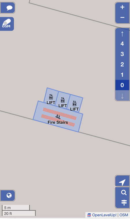
Indoor Map
Indoor map allows users to accurately show the location indoors which is often not available with GPS.
Level Browser
Floorplan Designer
Distance Measure
There are three available functions:
-
 button for Measuring Pixel
-
 button for Counting Steps
- Compass
1. Measuring Pixel
The ![]() button allows users to upload photos and measure the number of pixels between 2 points.
button allows users to upload photos and measure the number of pixels between 2 points.
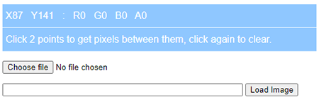
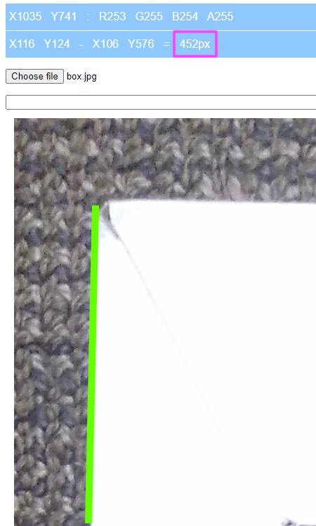
Select the Choose file button and browse to the image location. Draw a line by selecting two different points and a green line will appear as shown in the image below.
1V2 means vertical reference of 2 metres high with 1x zoom level landscape.
V2L1 (landscape mode) = horizontal distance x vertical pixel / vertical height
Example: 2.15m x 2965px / 2 = 3187.38
horizontal distance = camera reference x vertical height / vertical pixel
Example: 3187.38 x 2 / 2965px = 2.15m
vertical height = horizontal distance x vertical pixel / camera reference
Example: 2.15m x 2965px / 3187.38 = 2.0m
2. Counting Steps
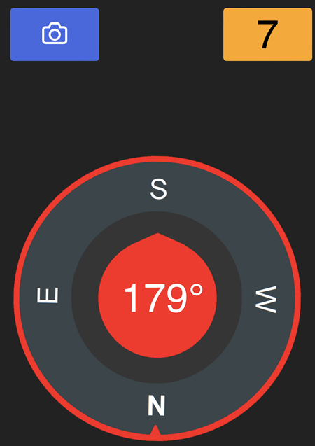
After the green ![]() button is pressed, it will change to orange and shows the number of steps detected. In the example below, the number of steps detected is 7.
button is pressed, it will change to orange and shows the number of steps detected. In the example below, the number of steps detected is 7.
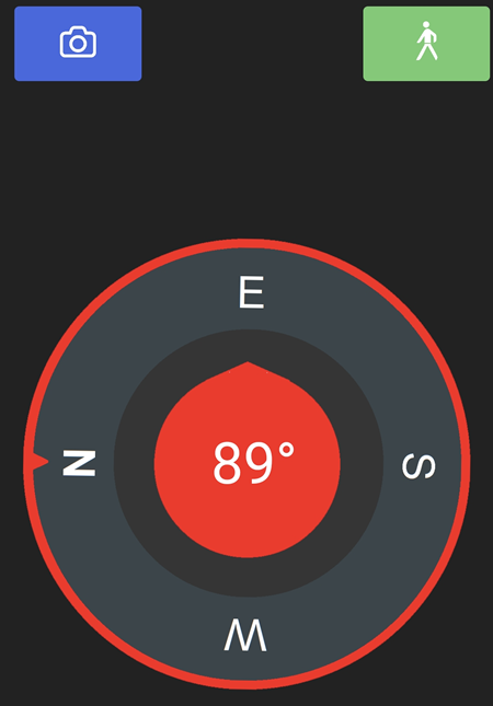
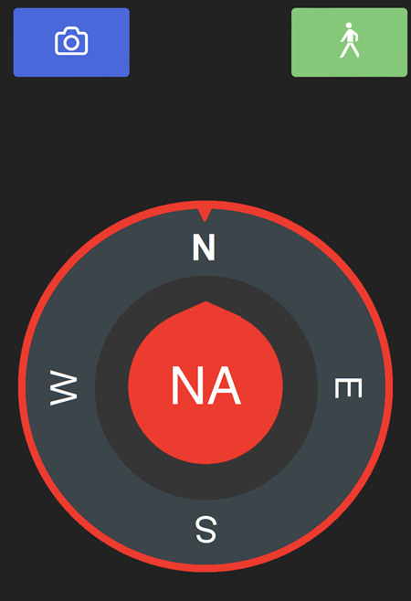
3. Compass
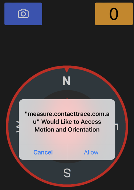
On iOS, to use the compass, the green ![]() button must first be pressed. After the green button is pressed, select Allow if prompted.
button must first be pressed. After the green button is pressed, select Allow if prompted.
On Android, the compass can be used without pressing the green ![]() button.
button.