Due to different lockdown rules now being applied to different parts of the state (NSW), we have now exposed the "local government area" on the top menu bar.
So you can adjust your behaviour according to the laws in your local area.
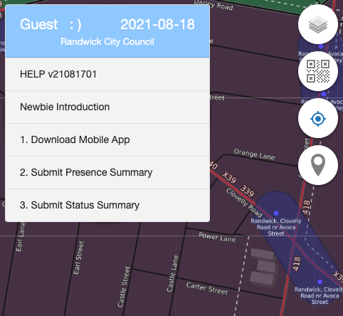
Note this is the Local Government Area (also called a Council, Counties etc.), it is larger than a "Suburb" and smaller than a "State".
You can browse both Councils the Suburbs inside them on the Community Map here:
https://map.contacttrace.com.au/mapbrowser/#map=16/-33.8787/151.2204&categories=administrative
Australia
Countries - called a country or nation are OpenStreetMap administration Level 2.
Regions - called States or Territories are OpenStreetMap administration Level 4.
Districts - called Local Government Areas (or councils) are OpenStreetMap administration Level 6.
Note: Suburbs are OpenStreetMap administration level 9 - NOT longer used. Area Entity is now used for smaller areas.