Community Base Map Servers
88.io provide a set of base map servers for non-commercial use.
If you are using them for commercial purposes, please contact us for permission first.
1. Standard Base Map
standard.maps.88.io
Worldwide
Copyright: OpenStreetMap
Native Zoom Level: 19
Maximum Zoom Level: 23
2. Transport Base Map
transport.maps.88.io
Worldwide
Map Copyright: Thunderforest
Data Copyright: OpenStreetMap
Native Zoom Level: 22
Maximum Zoom Level: 23
3. Outdoors Base Map
outdoors.maps.88.io
Worldwide
Map Copyright: Thunderforest
Data Copyright: OpenStreetMap
Native Zoom Level: 22
Maximum Zoom Level: 23
4. Imagery Base Map
imagery.maps.88.io
Worldwide
Copyright: Esri -- Source: Esri, i-cubed, USDA, USGS, AEX, GeoEye, Getmapping, Aerogrid, IGN, IGP, UPR-EGP, and the GIS User Community
Native Zoom Level: 19
Maximum Zoom Level: 23
5. Cycle Base Map
cycle.maps.88.io
Worldwide
Map Copyright: OpenStreetMap
Data Copyright: CyclOSM
Native Zoom Level: 20
Maximum Zoom Level: 23
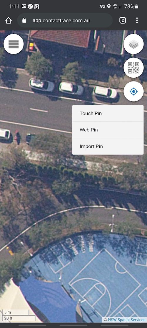
6. NSWImagery Base Map
nswimagery.maps.88.io
New South Wales Australia only
Copyright: NSW Spatial Services
Native Zoom Level: 21
Maximum Zoom Level: 23
7. NSWBase Base Map
nswbase.maps.88.io
New South Wales Australia only
Copyright: NSW Spatial Services
Native Zoom Level: 19
Maximum Zoom Level: 23