Daily Map
There are four sub-menus available:
a. Filter Location
Location Pins can come from Console itself or be imported from Hub.
Unless there are issues, it is recommended to leave the default settings unchanged:
-
Distance Exceed: 0 metres
0 = allow all location pins to be imported
5 = the location pins imported will have a distance of 5 metres minimum between them -
Time Exceed: 0 minutes
0 = allow all location pins to be imported
5 = the location pins imported will have a time difference of 5 minutes minimum between them -
Error Below: 100 metres
Location pins created on Console must have an error score below 100
if the score is 100 or higher the location pins will not be created -
Beacon Expiry: 120 minutes
Duration before the latest beacon detected expires and no longer be shown on the map -
Accuracy Above: 5 metres
Location from Hub will be imported if the accuracy of data from Console is above 5 metres -
Location Update: 60 seconds
Interval to check Hub to see whether any Location to import into Console
b. Location Files
- Read from Phone
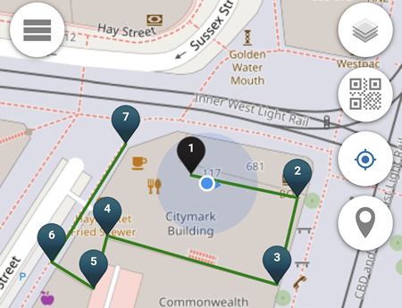
Import a .gpx file located in the mobile's local storage (normally located in the Download folder), so the location pins can be displayed on the map. In the example below, the .gpx file is imported from the device's local storage Download folder.
- Save to Phone
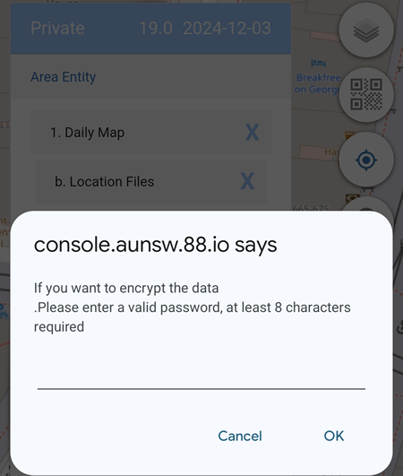
Export the current pins shown on the map to a .gpx file to be stored in the mobile's local storage (normally to the Download folder). There is an option to encrypt the data by entering a password.
-
Read from Server
This feature is not available for Private Alias users. -
Save to Server
This feature is not available for Private Alias users.
c. Activity Marker
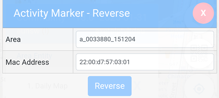
This allows users to reverse check the latitude, the longitude and the level where the ibeacon is placed by matching the Area with the Mac Address.
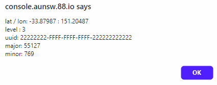
Clicking on the Reverse button will display the result, if the Area and the Mac Address match.
In the example below, the Latitude, Longitude, Level, UUID, Major and Minor values of the activity marker is displayed.
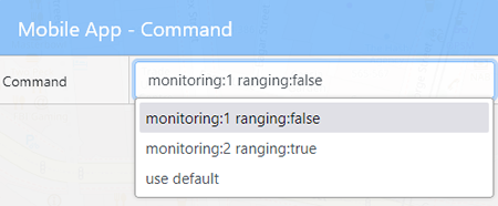
d. Mobile App
This allows the ranging feature in the Owntracks app to be enabled or disabled.
